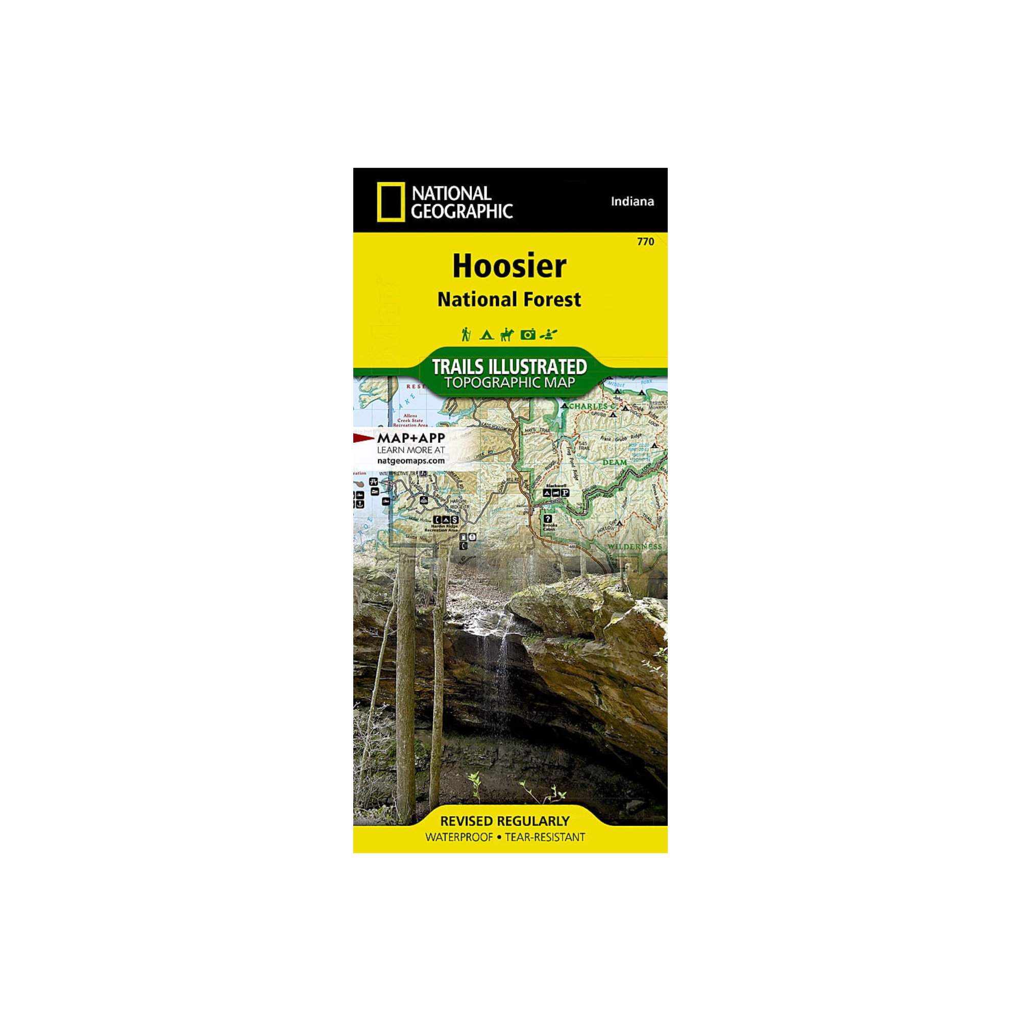
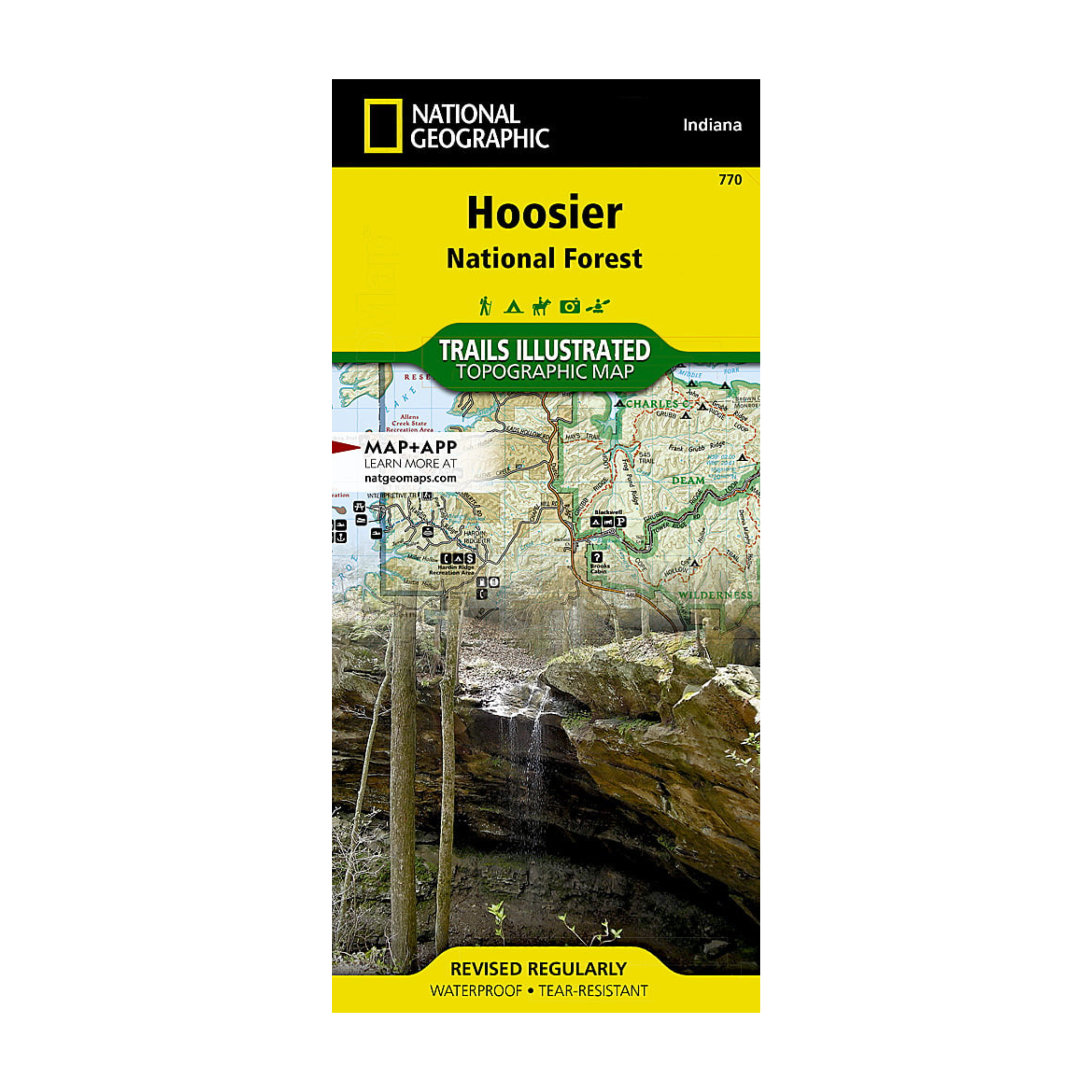
National Geographic 770: Hoosier National Forest Map
Pickup currently unavailable at FERAL Denver
Enjoy the abundance of recreational opportunities in the hills of south central Indiana with National Geographic's Trails Illustrated map of Hoosier National Forest. Expertly researched and created in partnership with the U.S. Forest Service, Indiana Dept. of Natural Resources and others, the map delivers unparalleled detail of the forest as well as inset maps of the popular Two Lakes, German Ridge and Monroe Lake areas. Other points of interest covered are Charles Deam Wilderness, Harrison Crawford, Martin and Ferdinand State Forests, Patoka Lake State Reservoir and the Ohio River.


