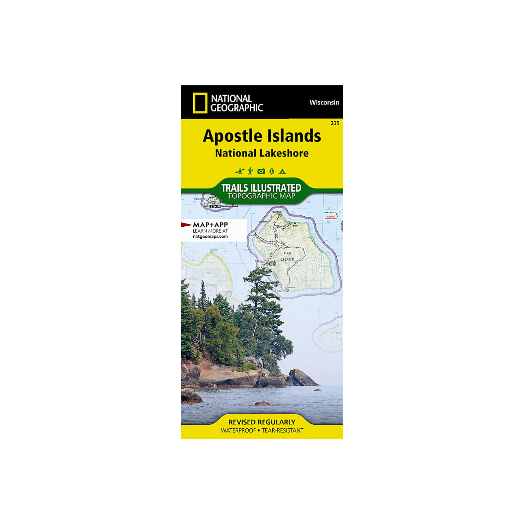
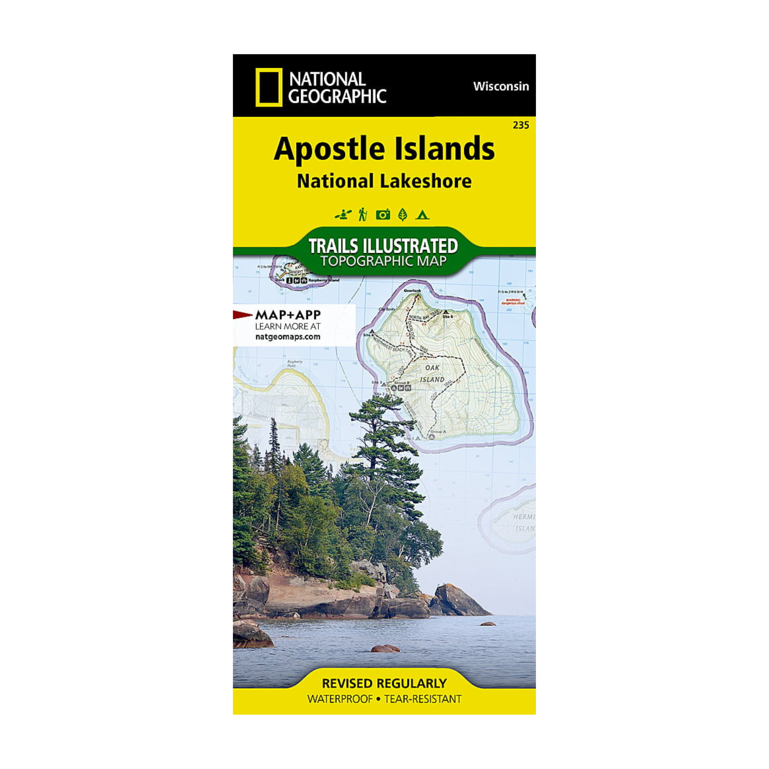
National Geographic 235: Apostle Islands Map
Pickup currently unavailable at FERAL Denver
National Geographic's Trails Illustrated map of Apostle Islands National Lakeshore was created for outdoor enthusiasts looking to savor the area's unique combination of cultural resources, natural beauty and historical significance. Created in partnership with the National Park Service, U.S. Forest Service, Wisconsin Department of Natural Resources and Bayfield County Land Records Department, this expertly researched map covers the 21 islands and 12 miles of Lake Superior shoreline that comprise the national lakeshore with unparalleled detail. Also covered by the map are Red Cliffs Indian Reservation, Madeline Island, the northeastern corner of Chequamegon-Nicolet National Forest and the Bayfield Peninsula.


